CIS Project Diary: 1/8/2005
Personnel: Jason Ottinger, Mike Poucher, Kelly Jessop, Jerry Murphy, Jeff Bauer, Hector Marerro, Nick Leone.
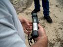
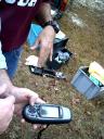
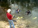
The plan for the day was to get some through-the-earth radio location coordinates and some preliminary cave survey data. The first dive team of Kelly and Jerry placed the beacon on a boulder at the restriction at the bottom of the cavern zone (around 100 to 110 FFW). Mike, Jeff and Jason located the beacon with the use of the receivers and marked it with a small orange flag. The beacon placed the cave entrance restriction at located at 30 15.053 N,84 19.296 W, using a hand-held GPS provided by Kelly. This, sadly, is the approximate location of where Parker Turner died in 1991 and we may consider getting an above-ground plaque installed at this location honoring Parker Turner, pending land-owner permission.
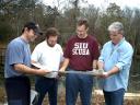
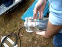
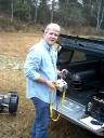
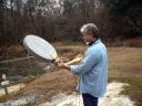
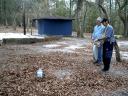
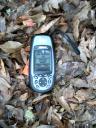
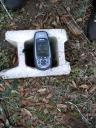
Jerry recorded the following information, using a hand-held sonar measuring device (see picture below):
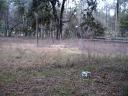
The second dive team of Jason and Mike moved the beacon to the upstream/downstream split (on a level rock slightly above the "T" junction" in ??? FFW). Jeff and Hector located the beacon and marked it with half of a cinderblock at 30 15.110 N, 84 19.253 W. This location is near a large oak tree on the property across SR 267.
Jeff also shot a LAT/LON at the middle of the end of the existing wooden dock, which is directly above the limestone edge of the cavern zone. The cavern zone starts at 30 15.048 N, 84 19.328 W.
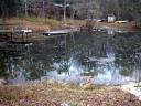
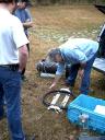
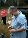
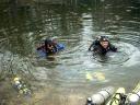
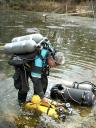
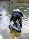
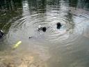
Pictures from the day: